What you will learn
-
Complete Civil 3D Workflow
-
Hands-On with Real Files
-
Practical Applications in Road & Land Projects
-
Accessible, Global Learning
-
Structured in 10 Progressive Sections
-
Covers Core Infrastructure Design Tools
-
Ideal for Multiple Roles
Get a solid footing in Autodesk Civil 3D with this foundational course. Across 10 ordered sections, you'll master the fundamental tools you need to create and run civil engineering projects from start to finish — from site work with survey points to the design of surfaces and horizontal alignment.
Who This Course is For:
Civil engineers, CAD technicians, surveyors, urban planners, and students who wish to specialize in key tools and workflows for road and surface design with Civil 3D.
Course Content Overview:
Section 1. Introduction to Civil3D
This chapter gives an overview of the interface of Civil 3D with 3 lessons devoted to toolbars, settings, and configuration. It sets the basis for navigating and using Civil 3D successfully.
Section 2. Points and Coordinates
In 5 lessons, you will be able to create, style, and manage points and coordinates in Civil 3D. The section also includes importing points and using tools to improve point management.
Section 3. Terrain Surfaces
This 7-lesson section addresses making, styling, and editing terrain surfaces. You will also be taught how to insert raster images, customize surface styles, and use advanced surface editing tools.
Section 4. Horizontal Alignments
Within 7 lessons, you will create and control horizontal alignments, i.e., creating alignments, labeling, curve and spiral management, and surface profiles with offsets.
Section 5. Vertical Alignments
This section consists of 7 lessons dedicated to designing and establishing surface profiles, inserting them into views, labeling, editing vertical layouts, and presenting profiles effectively.
Section 6. Surface Editing
In 4 lessons, you will learn advanced surface editing skills, such as ground surface editing, with other tools, and surface analysis for proper project execution.
Section 7. Sub-Assemblies and Assemblies
This 5-lesson section will demonstrate to you how to construct and manage assemblies and sub-assemblies for linear jobs, ranging from straightforward building to assembling and installing assemblies.
Section 8. Linear Works, Surfaces, and Materials
Through 4 lessons, this course includes the development involving linear work pieces, building sub-assemblies, and engaging in linear work environments for the sake of surface integration within processes.
Section 9. Cross Sections and Earthworks
Within this 6-lesson part, the emphasis is placed on making and analyzing cross-sections, handling sampling lines, computing earthwork quantities, and including linear works in cross-section displays.
Why This Course Excels:
This is one of the highest-rated Civil 3D courses, feted for its practical nature and pragmatic exercises. The course is presented in full English, creating clarity and ease of use for a global market. Each lesson includes a separate folder of files so that students can practice in conjunction with the instruction, reinforcing the learn by doing philosophy. Become one of the many professionals to revitalize their career through this extensive training.

Composite Tools - other ways to create alignments
Managing Free Curves and Spirals to Allignment
Creating Allignment from objects
Offset tool for Allignments
Creating Suface Profile
Creating Surface Profile applying Offset
No Discussion Found
5.0
2 Reviews

Adrian Malpaya
2 months ago
This course was fantastic. I really enjoyed the flexibility of this course. Best online experience I've had, building from basic concept to detailed layouts. I learned a lot but some videos are not clear, overall rate is 97%. I will gladly introduce this NOBLEQS online platform to my friends and colleagues. Thanks...

MOHAMMED RAHMATHEEN
7 months ago
IS THIS VERY USEFUL AND THEY ARE GENUINE NOBEL QS IS GREAT THOSE ARE PROVIDING VERY ADORABLE PRICE
Meet Your Instructor

Golgi Alvarez
Land Administration and AEC Specialist
About Instructor
Researcher, writer and rich content creator. More than 25 years working int the Geospatial and AEC industries: -Infrastructure and civil work projects management -CAD / GIS / Surveying & Construction training -Land and Cadastre projects -Land Administration and development projects Golgi Alvarez is the founder of the Geofumadas website, with more than 1.900 articles about CAD, GIS, Surveying, Cadastre, BIM, Digital Twin and other trend topics. The website is over 170.000 visitors per month and 21.000 followers in twitter. Golgi Alvarez is the founder of the TwinGeo magazine, attending on site conferences in USA, UK, Netherlands, Singapore, India, Spain, Mexico, Colombia, Chile, Guatemala and other countries. Golgi Alvarez is the founder of the AulaGEO Academy, with more than 150 courses focused in geospatial, engineering and operation of land and infrastructure projects.
Empty Resources
Resources(47)
Lesson 3 Settings and configuration.zip
Lesson 4 Creating and styling points.zip
Lesson 5 Managing the group points.zip
Lesson 6 Labeling and customizing point styles.zip
Lesson 7 Importing points.zip
Lesson 8 Other tools using points.zip
Lesson 9 Creating surfaces.zip
Lesson 10 Styling surfaces.zip
Lesson 11 Labeling created surfaces.zip
Lesson 12 Surfaces and raster images attach.zip
Lesson 13 Customizing Surface Style.zip
Lesson 14 Editing surfaces.zip
Lesson 15 More tools for surfaces topic.zip
Lesson 16 Composite Tools - other ways to create alignments.zip
Lesson 17 Managing Free Curves and Spirals to Allignment.zip
Lesson 18 Creating Allignment from objects.zip
Lesson 19 Labeling alighments, tables and reports.zip
Lesson 20 Offset tool for Allignments.zip
Lesson 21 Creating Suface Profile.zip
Lesson 22 Creating Surface Profile applying Offset.zip
Lesson 23 Creating and setting Surface Profile.zip
Lesson 24 Adding Profiles to Profile View.zip
Lesson 25 Creating and setting Flush.zip
Lesson 26 Working vertical profiles with labels and bands.zip
Lesson 27 Setting profiles view style.zip
Lesson 28 Editing vertical layout and the profile.zip
Lesson 29 Profiles - presentation.zip
Lesson 30 Editing surfaces - ground modifications.zip
Lesson 31 Editing surfaces - Part 2.zip
Lesson 32 Surface analysis – contours and legend tables.zip
Lesson 33 Surface analysis tools II elevation direction slope and slope arrows.zip
Lesson 34 Assemblies and sub-assemblies part 1.zip
Lesson 35 Creating assemblies and subassemblies – Part 2.zip
Lesson 36 Configuring earthwork properties and corridor surfaces.zip
Lesson 37 Corridor subassembly properties and surface layers.zip
Lesson 38 Creating sampling lines and section views.zip
Lesson 39 Corridor configuration with multiple assemblies.zip
Leson 40 Creating multiple section views.zip
Lesson 41 Adding a linear work in section view.zip
Lesson 42 Linear work surface in section view.zip
Lesson 43 Calculating quantities in section views.zip
Lesson 44 Working with Break Lines.zip
Lesson 45 Importing and Exporting Land XML files.zip
Lesson 46 Working with AutoCAD files in Civil 3D.zip
Lesson 47 Creating and comparing surfaces for cut & fill analysis.zip
Lesson 48 Detailed surface volume analysis with subregion breakdown.zip
Lesson 49 Volume Surface Presentation.zip
$ 20.00 $ 40.00
63 days Left at this Price!-
Course Duration5 h 50 m 50 s
-
Course LevelMedium
-
Student Enrolled8
-
LanguageEnglish
This Course Includes
- 47 Downloadable Resources
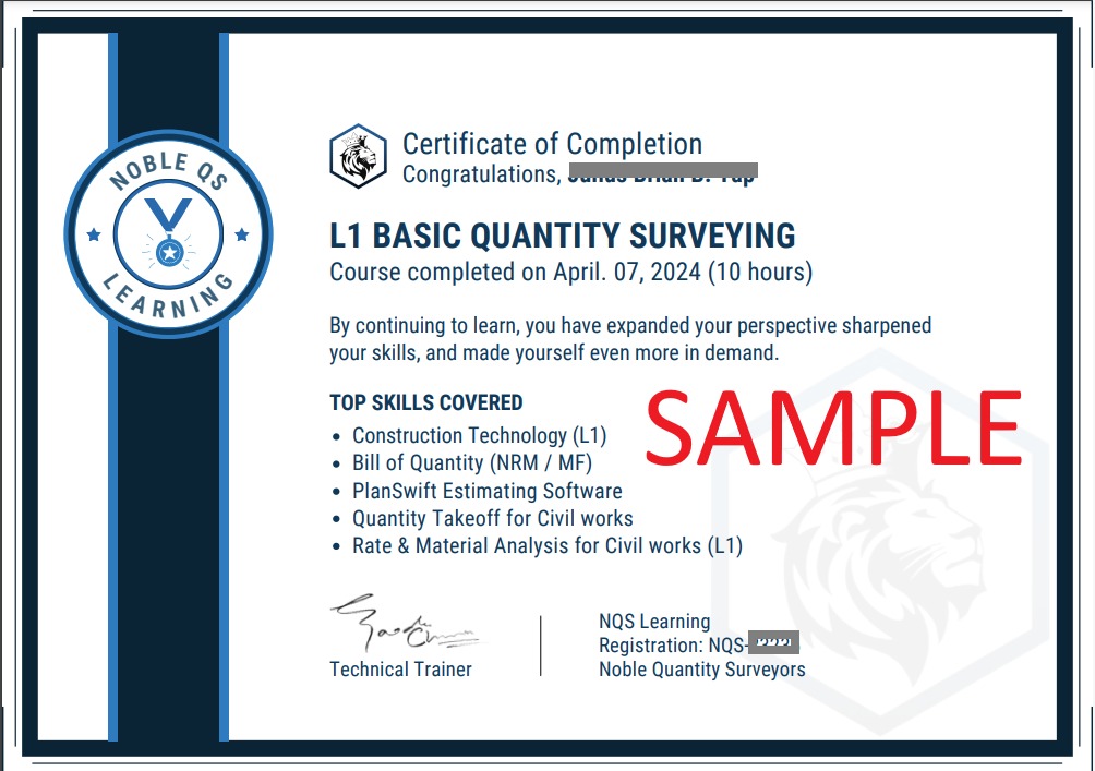
- Certificate of Completion
- Full Lifetime Access
- Resume Review
- Career Counselling
- FAQ Session with Trainer